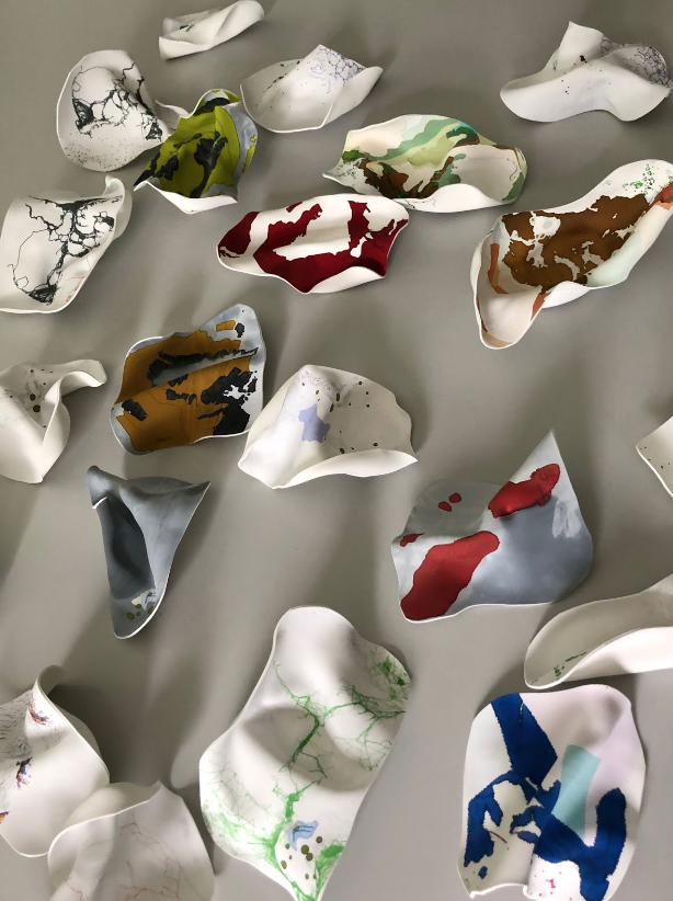
Plastic Projections
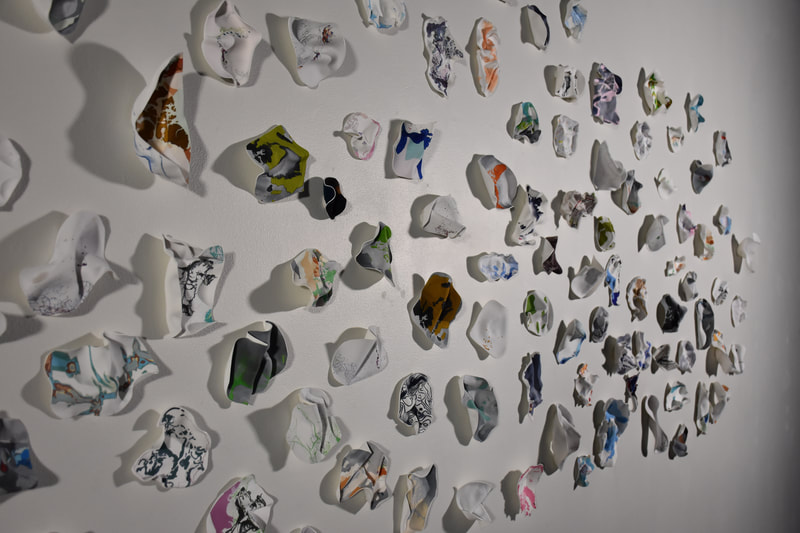
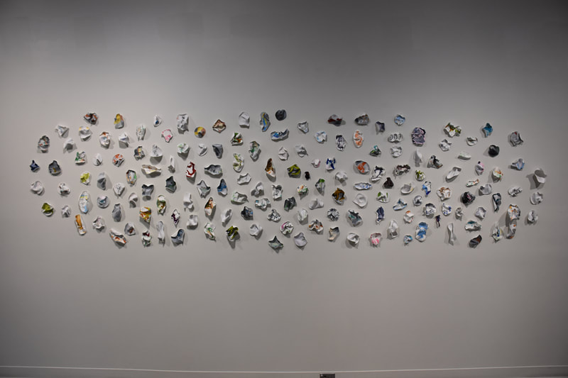
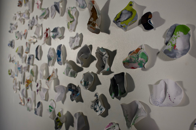
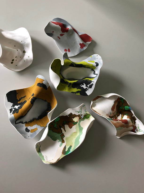
Archival digital printing of maps created in arcGIS and arcticDEM on recycled plastic, heat melted and shaped.
The content includes data sets that reflect the arctic region today, along with future projections and change over time to precipitation, wind patterns, ice melt, biodiversity, areas of ecological and biological significance, and migratory patterns. Resource extraction, industrial loss and development, marine traffic, potential shipping routes, military bases, purchasing power and population distribution are also included in the data.
